Introducing AirTower Mode — precision hovering mode for UAVs in GPS-degraded environments
Whether you're flying in a signal-denied zone or under active jamming, AirTower mode gives you ironclad aerial stability. With autonomous takeoff, hover, and return, your drone holds position like it’s anchored mid-air — all without GNSS or visual cues.
Contactpositioning accuracy
single point positioning
Complaint
Autonomous drone navigation for high-stakes missions

Radio relay
Maintain a stationary aerial link to extend range in canyons, urban zones, or signal-compromised regions.

Base perimeter defense
Provide full aerial coverage of your outpost or site without relying on vulnerable ground-based infrastructure.

ISR missions
Keep a bird’s-eye view over the battlefield or critical zone, without GPS interference taking you off-course.

Asset inspections
Hover and assess difficult-to-reach equipment and pipelines safely and with minimal human risk.

Remote infrastructure monitoring
Observe long stretches of rail, energy lines, or borders with persistent overhead positioning.

Disaster response & SAR
Pinpoint survivors and guide rescue efforts from a steady aerial vantage — even in GNSS blackout conditions.
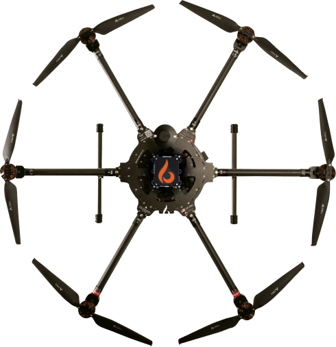
AI at the core: Bavovna’s H-INS Navigation Kit
We engineered a 1.7 lb hybrid inertial navigation system that thinks for itself. Trained on real-world, high-chaos missions, our AI algorithms provide continuous correction, even when visual cues or GPS are long gone. Designed for quick install, AirTower integrates seamlessly into any UAV, no retrofitting needed.
Included:
- EMI-hardened carbon composite shell for field reliability
- Autonomous mode with <0.5% positional error in full GNSS denial
- Precision automation from launch to return, ±1m accuracy
- Mission planner built on ArduPilot, AI-enhanced for remote ops
- Synthetic GPS stream for autopilot compatibility
Platform-agnostic. Mission-ready
AirTower mode works across quadcopters, tethered UAVs, VTOLs, and more. Whether you fly fixed-wing or rotary, electric or hybrid, our system is built to plug-and-perform across UAV platforms.
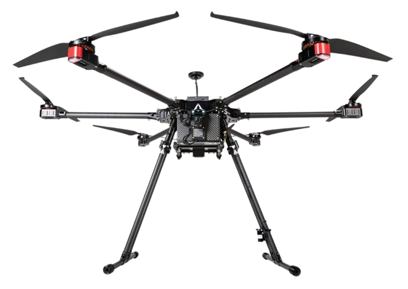
Tested in the field: Aurelia X6 Max Pro-D
- 30.88 km total flight distance
- 57-minute mission duration
- Landed within 4.2 meters of takeoff — with no GNSS input
- Operated in 100% humidity and sub-zero temperatures
Result: 99.99% endpoint positioning accuracy in extreme conditions
What gives AirTower mode an edge
Low energy draw
Uses a standard 5V input, consuming just 50W — perfect for multi-payload missions.
EMI-resilient casing
Operates reliably in high-interference zones thanks to composite shielding and rigorous EMV testing.
Compatible with any payload
Adapt to any UAV hardware and sensor configuration. Supports SIGINT, EO/IR, RF, and more.
Unmatched range and stability
Withstand up to 10 m/s winds, fly up to 62 km, and maintain sub-meter accuracy — even with no visual references.
Comparison to other non-GPS Systems
| Type | Range | Accuracy | Nature of errors |
| Inertial Navigation Systems (INS) | Short | 80% | Drift, biases, cumulative error of integration |
| Radio (eg: VOR, LORAN, TACAN) | Short | 90% | Signal interference and propagation delays |
| Landmark (optical) | Short | 95% | Environmental conditions and landmark changes |
| Magnetic | Short | 95% | Distortion by ferromagnetic, electrical currents and geological formations |
| Bavovna Al-enhanced Inertial | Long | >98% | Hybrid systems can be affected by the combined errors of the systems they integrate, especially if one system's errors are not adequately compensated by others. Using continuous ML decreases the error rate. |